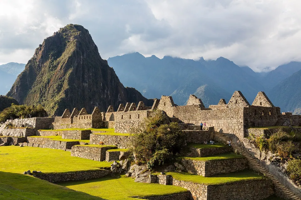
Nº 0171 · Inca royal estate
Machu Picchu
Radiocarbon dates moved its founding back two decades.
Why it matters
Inca builders fitted a whole settlement to a steep mountain ridge, with farming terraces and houses of stone laid without mortar, using rock quarried on the site. A radiocarbon study published in 2021 placed its start about two decades earlier than the date taken from Spanish colonial accounts, which were written long after the events.
Machu Picchu was built as a royal estate for the Inca emperor Pachacuti, on a ridge about 2,430 m above sea level, about 80 km north-west of Cusco. Dates from human remains in its cemeteries, excavated by Hiram Bingham’s team in 1912, place its occupation from about AD 1420 to 1532. About 200 buildings stand on terraces in an agricultural and an urban sector, and some 750 people are thought to have lived there at its height. Agustín Lizárraga reached the ruins in 1902, and Bingham, guided by the farmer Melchor Arteaga, brought them to international attention in 1911; objects his expeditions took to Yale were returned to Peru from 2011.
What to notice
- The gablesHouses end in steep stone gables; the roofs are gone.
- The terracesStepped terraces with stone retaining walls turn the slope into level ground.
- The stairsA long stone stair links the levels of the site.
3 min read
The full story
A date from the cemeteries
Machu Picchu was laid out as a country estate for the Inca emperor Pachacuti, on a saddle of rock between two peaks above the Urubamba river. For most of the twentieth century its age came from paper. Spanish chronicles, chief among them Cabello de Balboa’s account of 1586, put Pachacuti’s rise to power in 1438, and in 1945 the Berkeley archaeologist John Rowe built a chronology on them that placed the building work at about 1450.
In this story
- A date from the cemeteries
- Most of it is underground
- An estate and its staff
- Whose ruin it is

The story continues in the app
- Elevation
- About 2,430 m
- Buildings
- About 200, with about 4.9 ha of farming terraces
- Occupied
- About AD 1420 to 1532, by radiocarbon dating
- Heritage
- Historic Sanctuary, 1981; UNESCO World Heritage, 1983
- Status
- Real · a ruin, open to visitors
Connections
- Middle Ages
- Architecture
- Cusco Region
Nearby in the archive
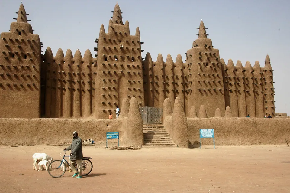 Great Mosque of DjennéIsmaila Traoré · 1907 · a building made from the ground it stands on
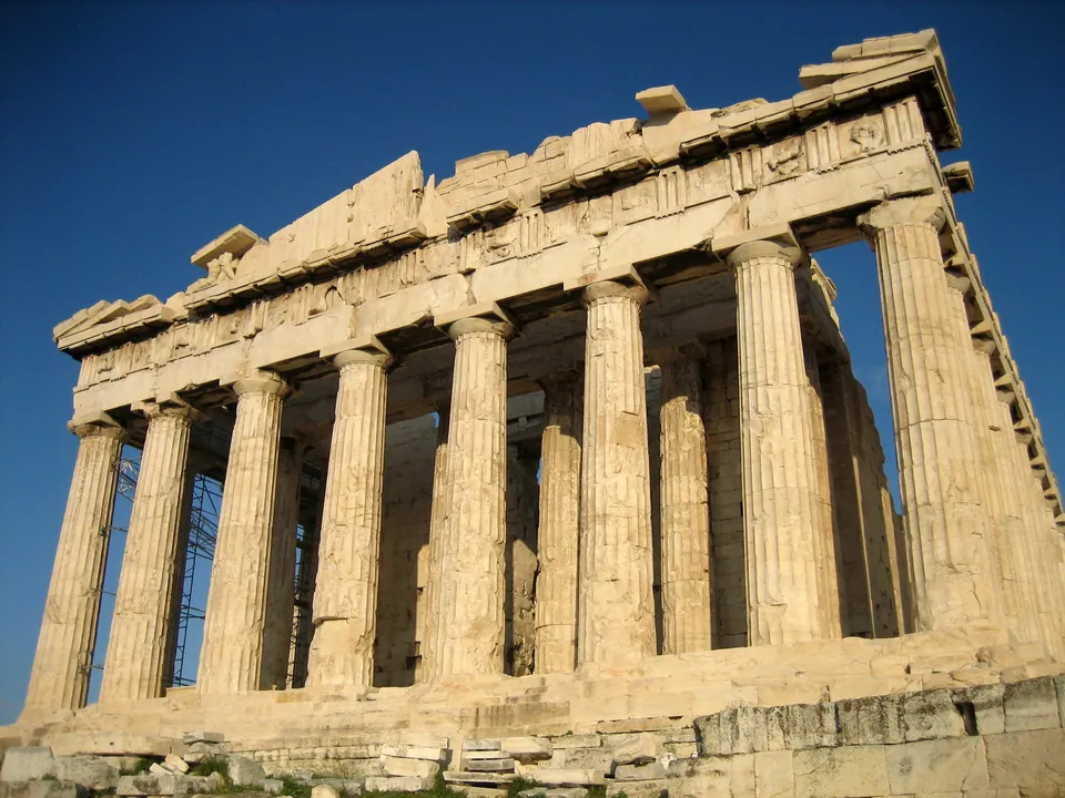 ParthenonIktinos and Kallikrates · 447 BC · another stone complex on a high rock
In collections
Go further
- Machu Picchu: Unveiling the Mystery of the Incas, Richard L. Burger and Lucy C. Salazar (eds), Yale University Press (2004)Essays by the Yale archaeologists who restudied Bingham’s collection, on the estate, its households and its burials.
- Machu Picchu: A Civil Engineering Marvel, Kenneth R. Wright and Alfredo Valencia Zegarra, ASCE Press (2000)The engineering survey of the spring, canal, fountains, terraces and drains, with measured plans.
- New AMS dates for Machu Picchu: results and implications, Richard L. Burger and others, Antiquity (2021)The radiocarbon study that moved the start of occupation back to about 1420.
- Inca Engineering: interview with Ken Wright, NOVA, PBS (2010)Wright explains in plain terms how the foundations, terraces and drainage keep the site standing.
- Historic Sanctuary of Machu Picchu, UNESCO World Heritage CentreThe World Heritage record, with the statement of value, maps and conservation reports.
Sources
- New AMS dates for Machu Picchu: results and implications (Antiquity 95, 2021), Cambridge University Press
- Machu Picchu Older Than Previously Thought, Archaeology
- Older than we knew, Yale Alumni Magazine
- Wikipedia (English), Wikimedia Foundation